![]()
![]()
Announcement
![]()
![]()
![]()
Uncategorised
- Details
- Category: Uncategorised
Detailed geographic mapping conducted within the area revealed the presence of metamorphosed gabbros1 as basement rock of Labason. It is megascopically described as generally dark, greenish gray to very dark gray, medium coarse-grained, foliated, granular, with occasional lenses of quartz. Outcrops of this rock type are abundant in the immediate vicinity of Mount Dansalan. This rock unit is believed to be a part of the Pre-Tertiary Tunguauan Schists2 of Santos-Ynigo (1953) which was later mapped as Pre-Jurassic Granites (PBM, 1964) and named Dansalan Metamorphics (Querubin et. al, 1968) due to its type of locality..
Tungauan Schists is uncomfortably overlain by uplifted gravel deposit and coral reefs. Occurrences of this lithologic unit evident along the lowlying hills of Mount Dansalan and within surrounding barangay of Labason. The exposed gravel was megascopically described as gravelly sand with abundance of rounded to subrounded, pebble to cobble size clasts of quartz and metamorphic rocks.
- Details
- Category: Uncategorised
Labason lies along the western coastal line of the Province of Zamboanga del Norte and is an integral part of the Zamboanga Peninsula. It is the ninth town from Dipolog City going southward and is approximately 152 kilometers from the Provincial Capitol. The municipality is bounded on the north by Sulu Sea, on the South by the municipality of Kalawit, on the West by the municipality of Gutalac, and on the east by the municipality of Liloy.
Subcategories
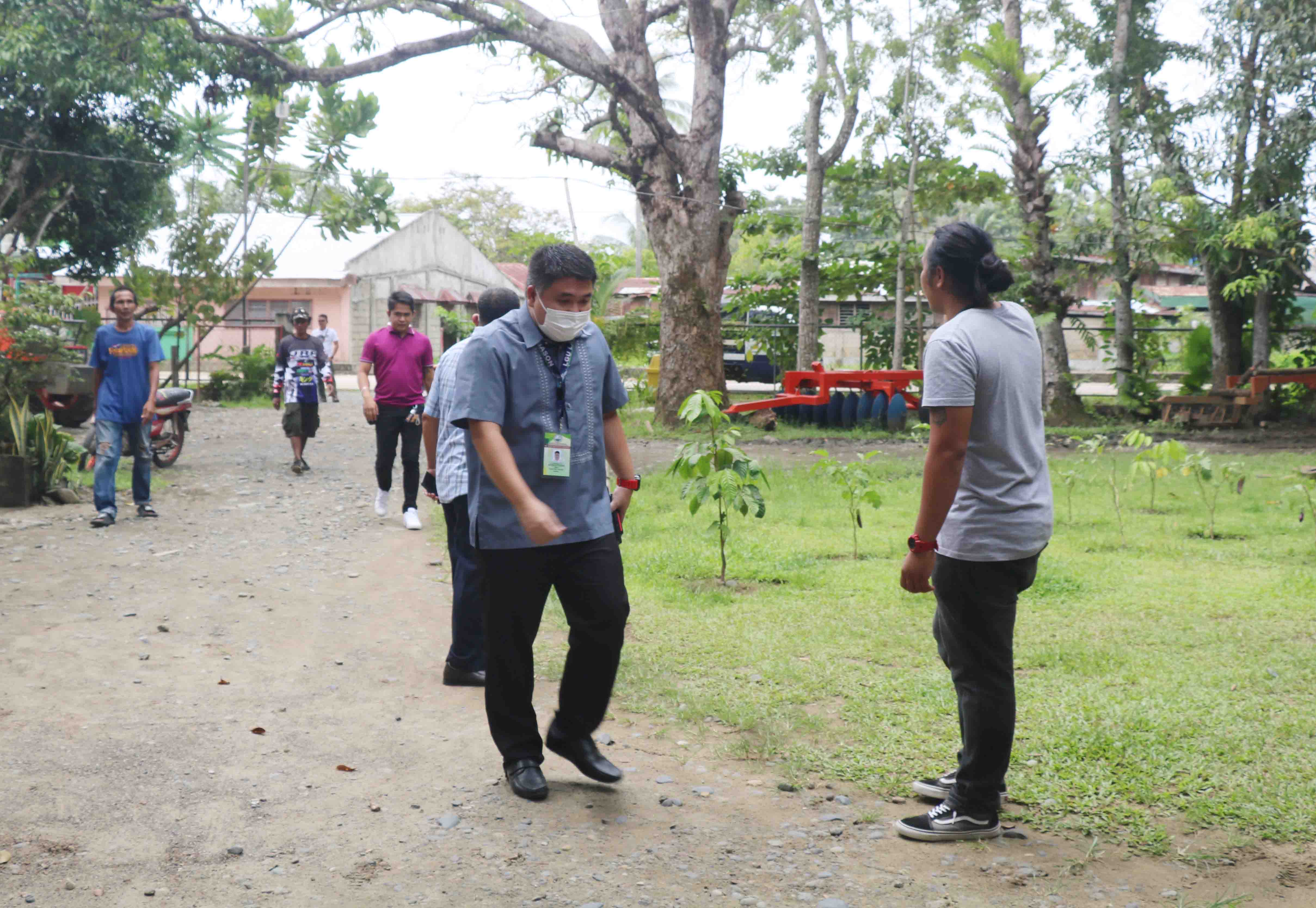
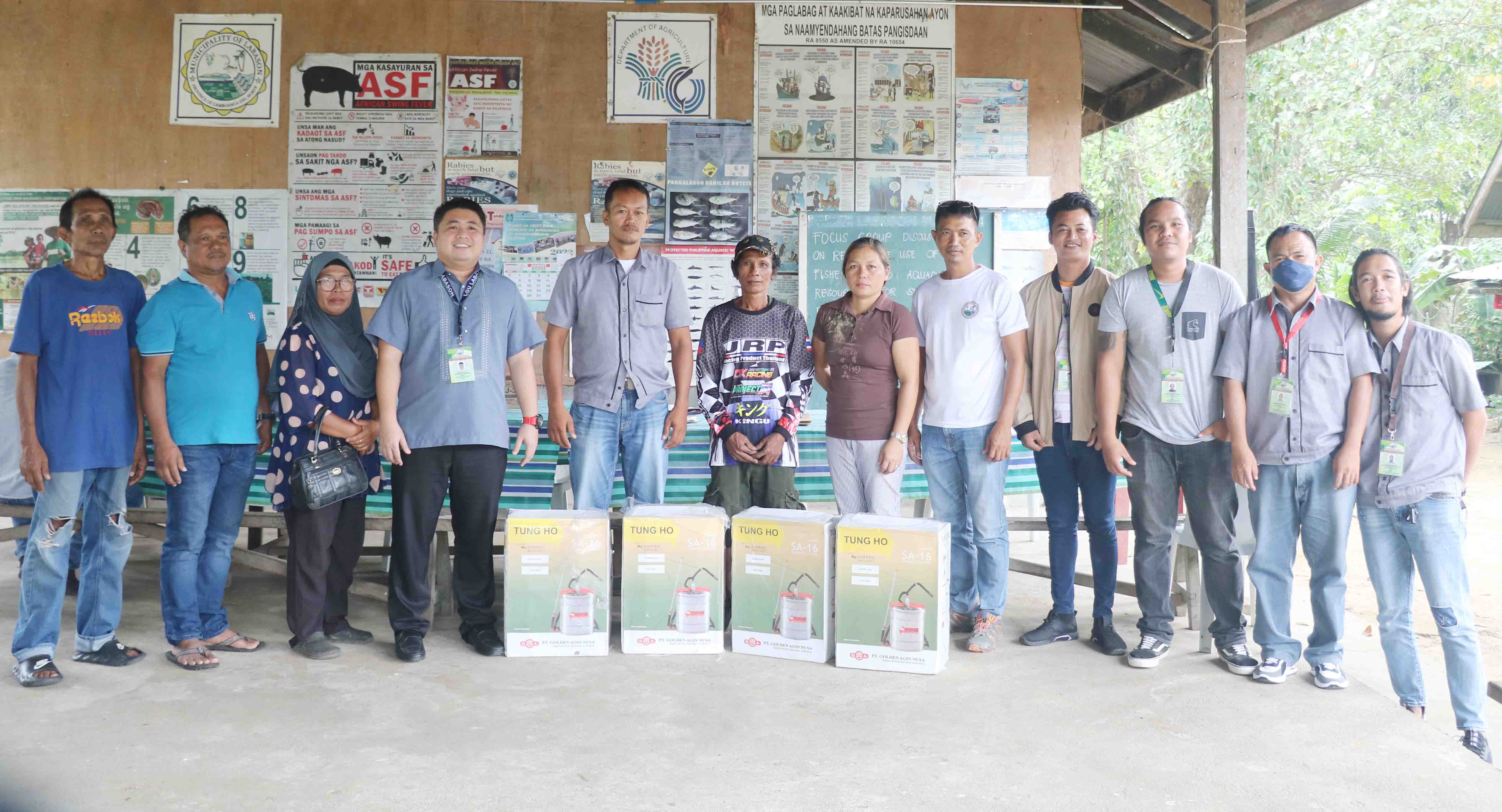
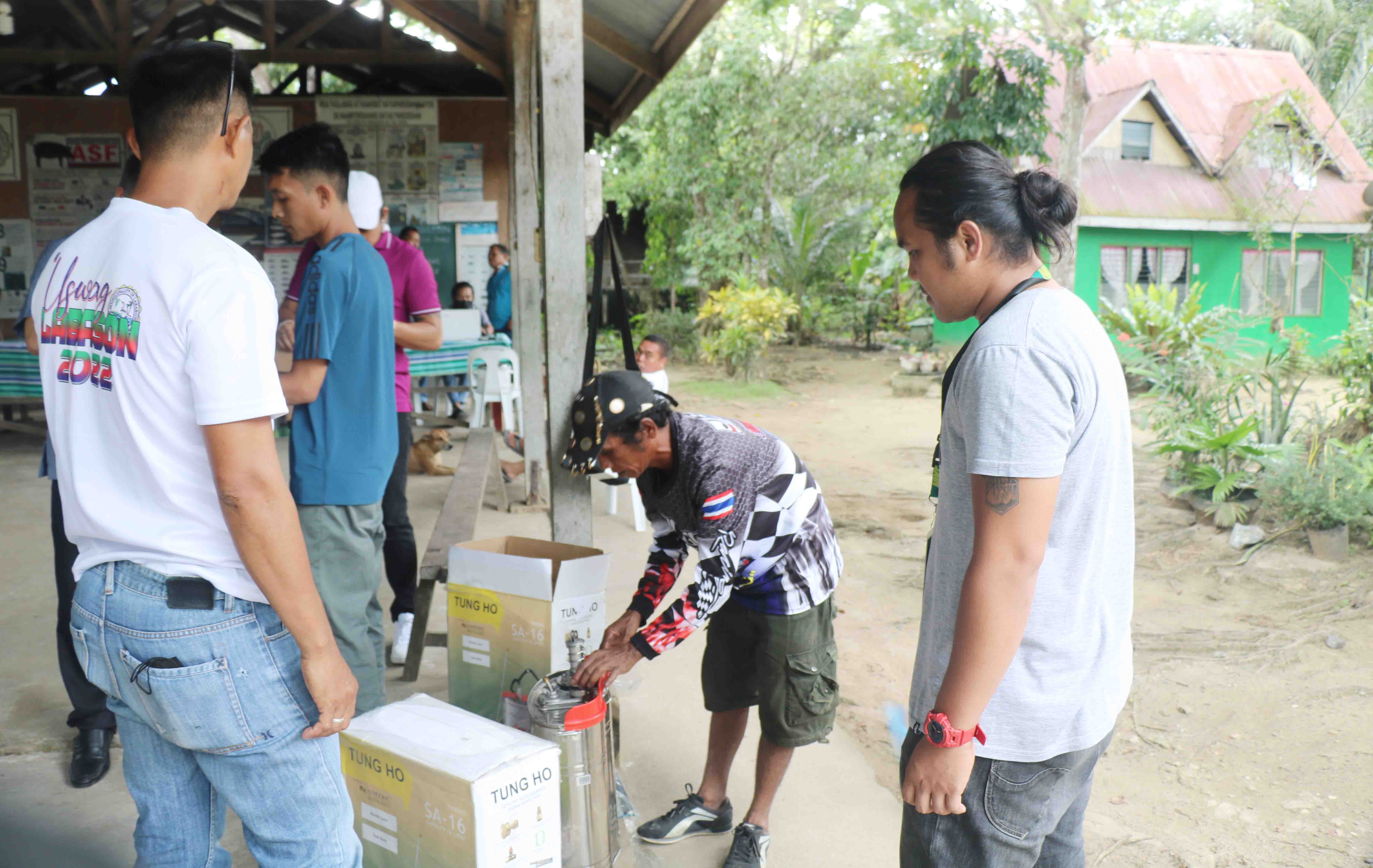
Turn-Over 4 knapsack Sprayer
𝐄𝐚𝐫𝐥𝐢𝐞𝐫 𝐭𝐨𝐝𝐚𝐲 The Municipal Agricultural Office and 𝐇𝐨𝐧. 𝐌𝐚𝐲𝐨𝐫 𝐉𝐞𝐥𝐬𝐭𝐞𝐫 𝐄𝐝 𝐓. 𝐐𝐮𝐢𝐦𝐛𝐨 Turn-Over 𝟒 𝐤𝐧𝐚𝐩𝐬𝐚𝐜𝐤 𝐒𝐩𝐫𝐚𝐲𝐞𝐫 to 4 𝐟𝐚𝐫𝐦𝐞𝐫𝐬 𝐀𝐬𝐬𝐨𝐜𝐢𝐚𝐭𝐢𝐨𝐧